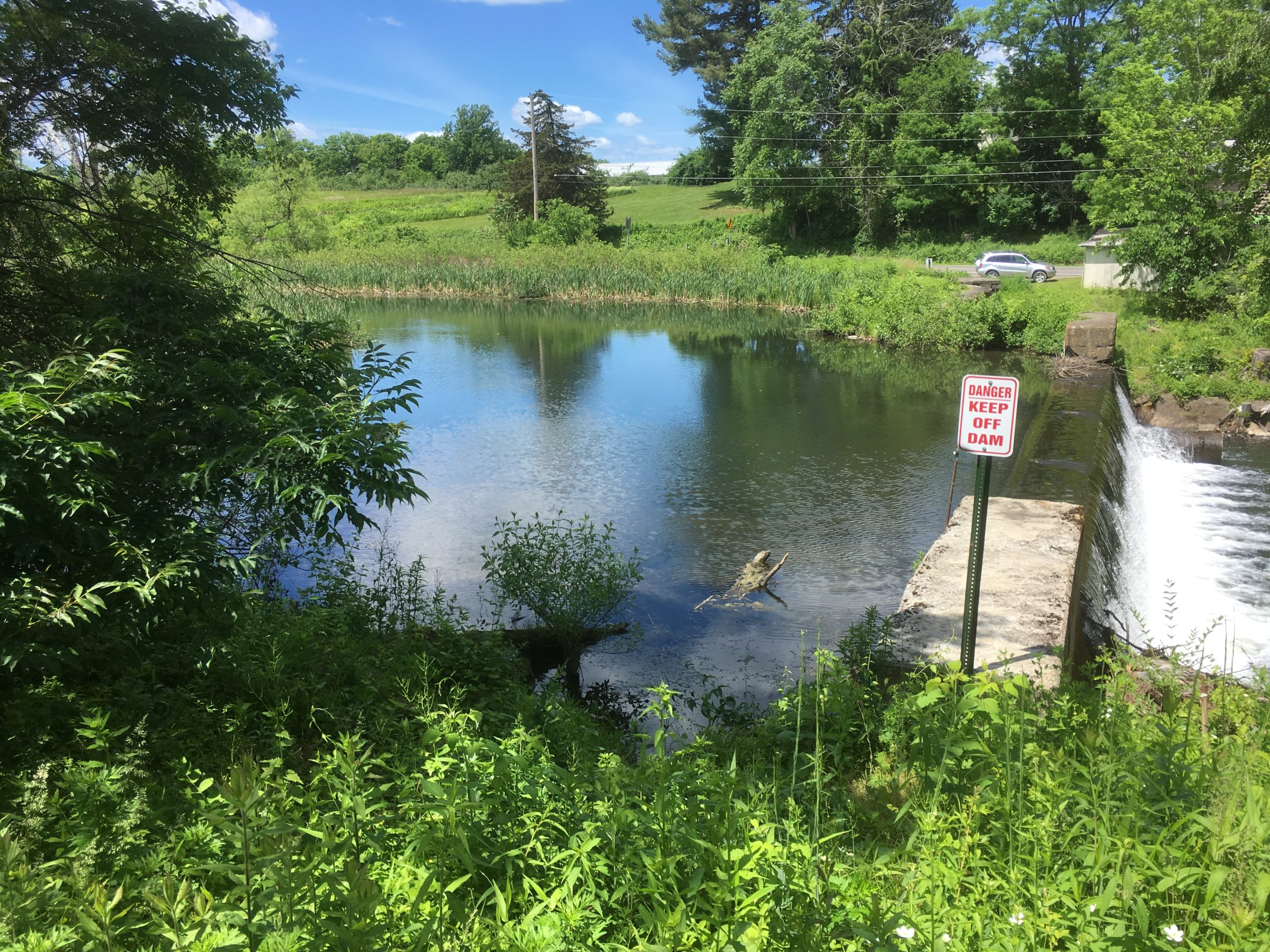
Submitting an application for exemption from Licensing with the Federal Energy Regulatory Commission (FERC) is a complex endeavor, where details can decide if FERC accepts the application, or not. Here is an update on the Annandale permitting process, revolving around the latest request for additional information.

Those of you following the Annandale FERC eLibrary docket P-15021, might have seen that we submitted an exemption application with FERC for the Annandale Project in December of 2019. The last time we updated you on the project, we had just revised the project, reducing the design’s complexity and footprint – that was in July of 2020. Since then the project has received two requests for additional (RAI) information in series, with the latest one arriving in the end of January 2021.
Both RAIs were about the dam’s engineering and stability – two vital points for every dam, whether with or without hydropower add-ons. FERC’s questions were relating to the Annandale Dam’s ability to pass the required flood amounts via its spillway and its safety against sliding.
A 2018 supplemental engineering assessment of the Annandale dam, unrelated to this project, assessed both those issues in response to a letter from the Department of Environmental Conservation’s (DEC) Dam Safety team. Unfortunately for us, the DEC and the FERC use different metrics with regard to assessing dams’ spillway capacity and stability.
Differences start with the terminology around flood events that need to be evaluated and end with the way that stability is calculated. Our latest response, following FERC dam engineering guidelines, identifies the “Inflow Design Flood” (IDF) for a low-hazard dam, as the One Percent (100-year) flood, with an expected flow of 4,593 cubic feet per second. For comparison, that is about 150 times the flow the proposed Annandale Micro Hydropower Project will utilize at full capacity – so a major flood event.
To model the effects of such flood events, a detailed HEC-RAS topography and hydrology simulation was utilized. The results of such simulations show stream water elevation levels and inundation in the vicinity of the steam, as displayed in the Saw Kill Flood Study from 2018:

Source: Saw Kill Watershed and Flood Mitigation Assessment – Final Report, Fuss & O’Neill, 2018

Source: Saw Kill Watershed and Flood Mitigation Assessment – Final Report, Fuss & O’Neill, 2018
The better the topographic information, the better the model – which is why we have updated the existing topographic data to include information from recent site surveys, which were the basis for the design plans and drawings. The resulting flow elevations were then used to re-calculate the stability analyses, now including the proposed upgrades to the dam, and all to be evaluated by FERC Dam Safety to ensure hydropower projects operate safely.
And without preempting FERC’s assessment of the model data, our calculations show that the Annandale Dam exceeds FERC’s stability requirements during all three of the required scenarios: normal flow, flood flow and even post-earthquake.
All there is left for us to do, is wait for FERC to accept our filing and agree with our conclusions. If you are interested in more details, follow the Annandale Project on the FERC eLibrary docket P-15021. Otherwise we will keep you updated right here.


No responses yet