Ben Houston, GroundPoint Engineering
One resource that can be very helpful is data from local municipal and government sources. This data can come in many different forms and be accessed from a variety of sources. At the local scale, many communities have a robust Natural Resources Inventory, which provides information about local natural resources, and is publicly available for you to use. Some inventories include advanced environmental risk assessments as well, such as this example with the Town of Copake.
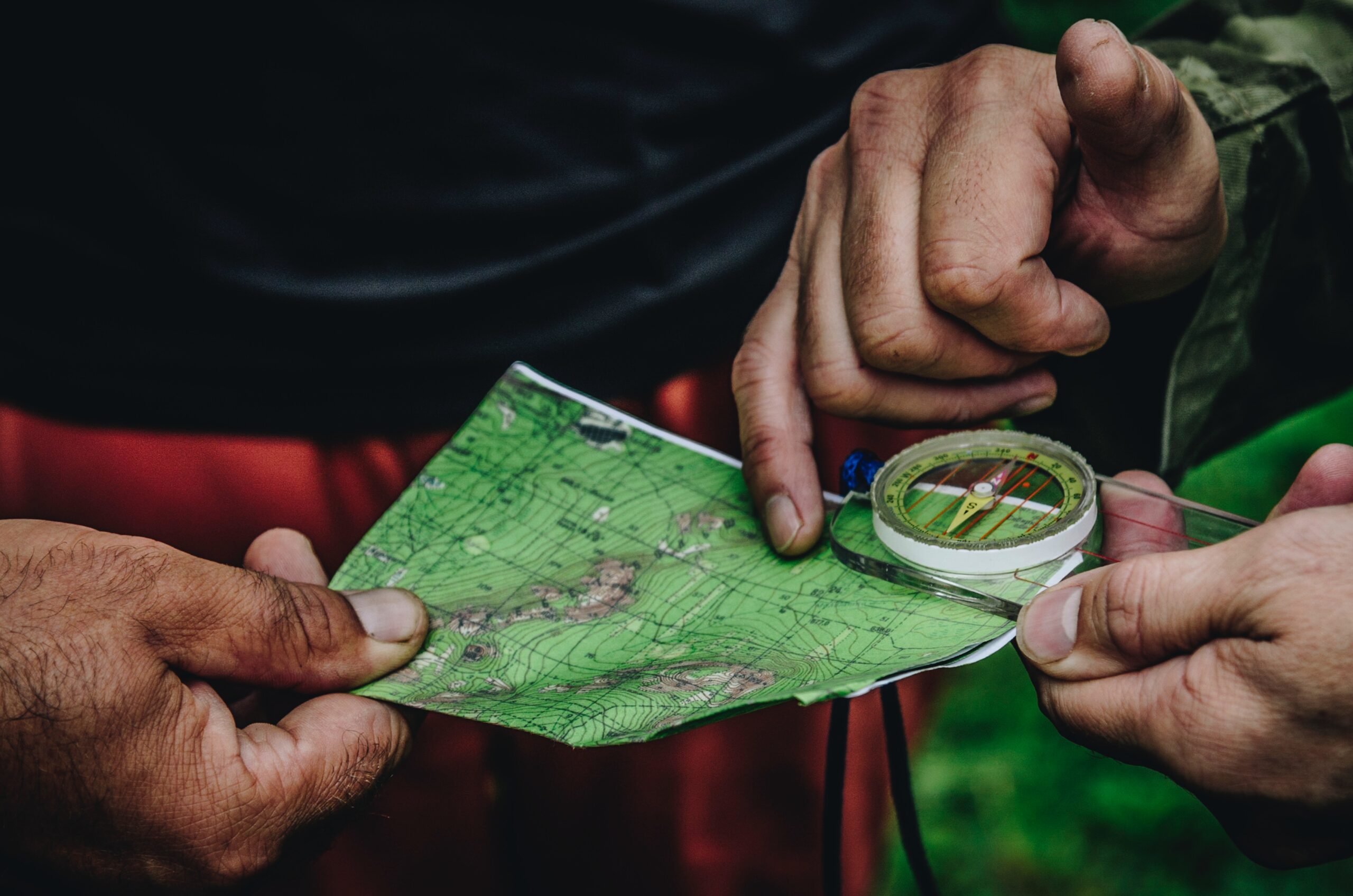
In the Saw Kill Watershed, a robust set of data was available from both the Town of Red Hook and the Dutchess County GIS program office. This data has been made available for our project team in an online map viewer.
In areas without robust local data, you can often find data from the State and Federal government, and even from non-governmental organizations. Statewide resources include the DEC’s Environmental Resource Mapper, which is an interactive online tool that can identify some areas where species of concern may be found. The Natural Heritage Program also manages a comprehensive database on the status and location of rare species and natural communities. In addition to these state-level resources, there are also many land conservancies that have developed environmental sensitivity and risk information that can be local or regional, and may contribute to your data needs.
The spatial data that these state-level resources provides is helpful for gaining a general understanding of the plant and animal species that you need to be aware of. For example, you may be able to generate lists based on a zip code or county, but that may not give you enough information about site specific risks that are important to your specific location.
A property based, or parcel level, analysis can be incredibly valuable at the local level when assessing what defines these various special use categories. Some municipalities have special use definitions, and may even have high resolution spatial data available to support a property based assessment.
An important thing to remember is that data collection identifies potential environmental risks, such as a protected species on your site. Once you know what the risks are, then you can determine how to mitigate the risk, and whether data can be developed to objectively evaluate and monitor the potential impact.
Map Data in the Saw Kill Watershed
The Saw Kill watershed has several unique data sets that have been included in the Community Mapper. One unique data set available in the Saw Kill watershed is a culvert inventory that supports ongoing assessment of barriers to the movement of aquatic species. In 2013, the Hudson River Estuary Program (HREP) modeled high priority crossings for the entire Hudson River Watershed using a complex set of geographic criteria to evaluate relative risk. The Community Mapper shows this data set.
Data needs are not limited to geospatial map layers but may include other data as well. To the extent that data can be located on a map, such as water quality measurements or plant and animal observations, then such data can be quantified and analyzed more effectively as they relate to potential risk.
Explore the Community Mapper here.

3 Responses
[…] Regardless of the ultimate risks posed, conducting a thorough review of existing biological communities is going to be a critical part of your environmental analysis. Certain information can be obtained online and through various maps, but ultimately you may need to conduct your own surveys, particularly if your initial investigations indicate there may be some key species in your project area. See our additional guidance on Map Data here. […]
[…] In addition these maps are intended as EXAMPLES of how map viewers may be used to consume public information to support a risk assessment. There is a plethora of available data and we have provided at least some guidance on where to start. […]
[…] Using a web-services driven approach relies on data being published as web-services, and the amount of public data being published to the web is increasing every day. For more information on getting started finding available data, see our blog post on Mapping Resources. […]